
Silk Road-Highland Urbanism and Environmental Dynamics, Uzbekistan
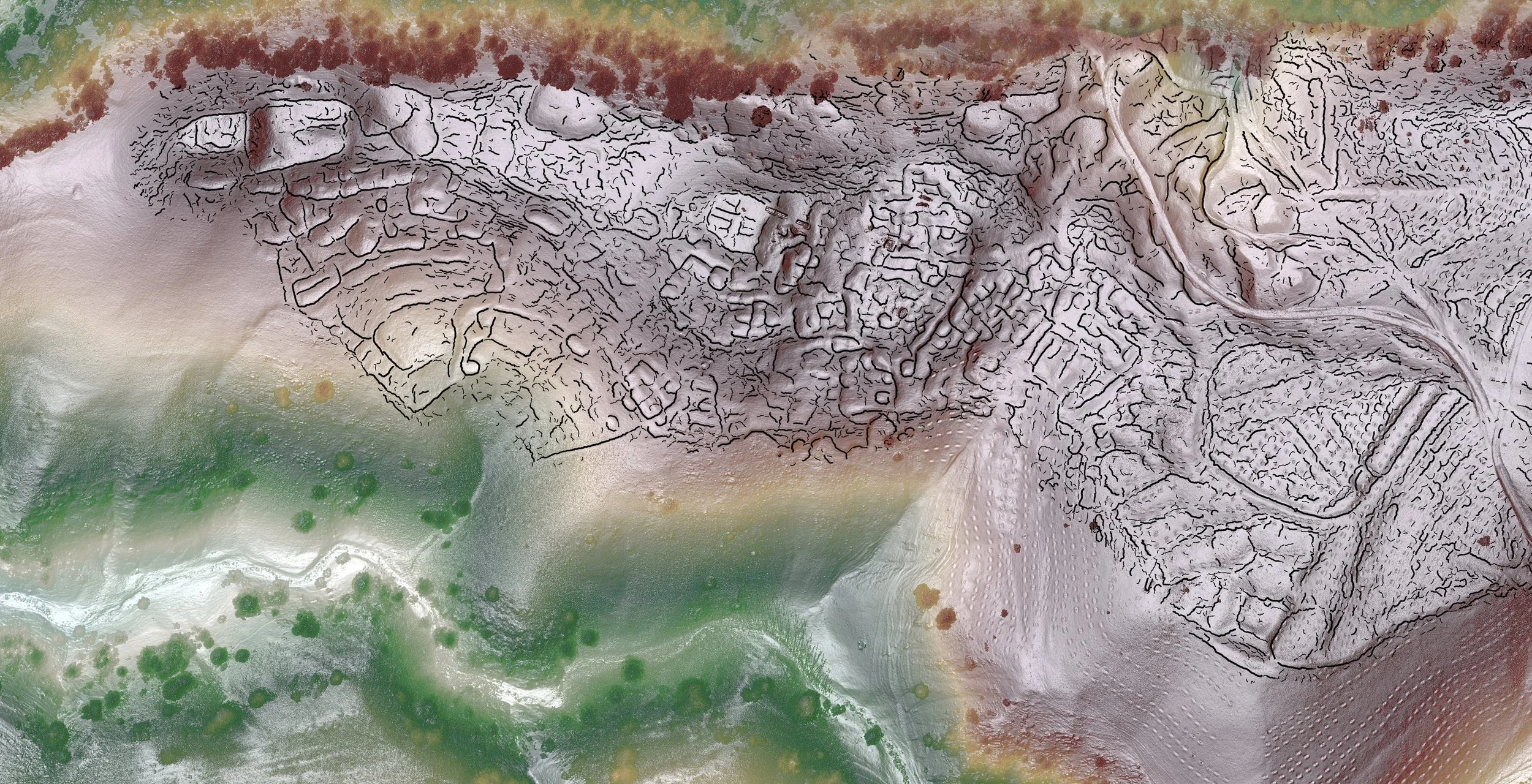
Lidar map of Sector A, Tugunbulak 2024 (Credit: SAIElab/J.Berner/M.Frachetti)
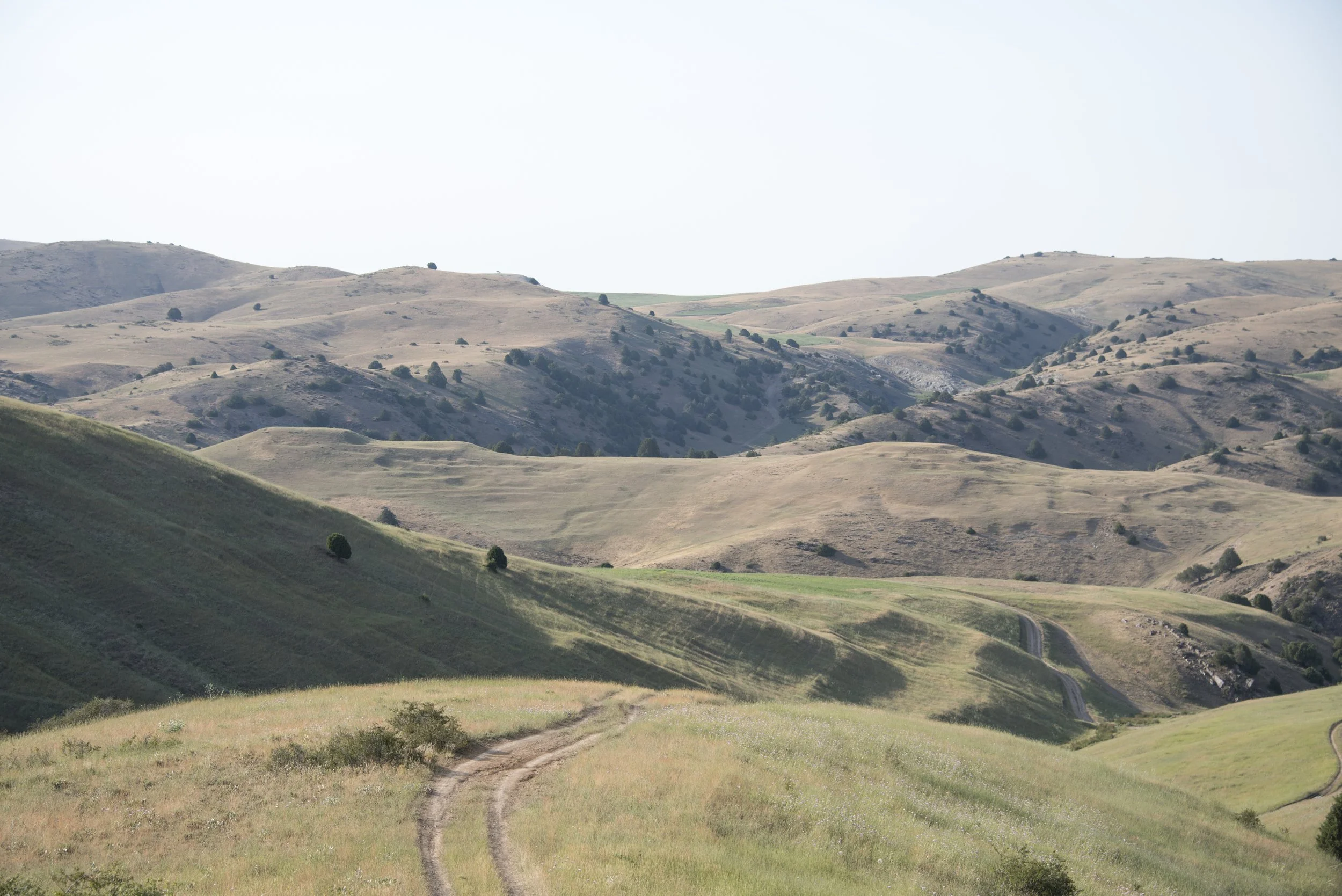
Credit: Michael Frachetti, 2015
SR-HUBS project: Aerial LiDAR and Photogrammetry at Tugunbulak (medieval Uzbekistan)
Co-Directors: Michael Frachetti, Farhad Madksudov (Uzbekistan), Sanjyot Mehedale (Tang Center, Berkeley)
At 2000m elevation in a high elevation pasture zone of eastern Uzbekistan, the medieval city at Tugunbulak holds many new insights into our understanding of medieval mountain communities and their engagement in trade, production, and urban development along the Silk Routes. Site-wide geophysical survey (sponsored by the National Geographic Society) as well as UAV (drone) based mapping will take place in the 2022 field seasons. Urban features such as a central mound (citadel) and 5 large fortresses are visible on the surface. Along with its companion site Tashbulak, only 3km away, this medieval city allows us to examine early Qarakhanid art and architectural innovation, economic production, and social structure at the intersection of highland nomadic and lowland agricultural realms.
Bibliography: Frachetti, M.D., Berner, J., Liu, X. et al. Large-scale medieval urbanism traced by UAV–lidar in highland Central Asia. Nature 634, 1118–1124 (2024). https://doi.org/10.1038/s41586-024-08086-5
Drone-mounted LiDAR reveals the true extent of two lost-cities in the mountains of Uzbekistan.
Produced By Dan Fox, Nature