EVALUATING LANDSCAPE CHANGE
Climate and ecology are key factors to the adaptive strategies and social history and geography of world societies. In the SAIE lab we are engaged in a number of projects that seek to model and understand the relationship between human strategies and ecological change and climate through time. Our research covers a variety of human interactions with the environment such as modeling nomadic mobility and grassland ecology, or coastal community transformation after catastrophic environmental episodes in island Indonesia. Underlying these projects is the SAIE quest to explore the geographic interrelationship of climate change, landcover change, and human adaptations through time.
Our interdisciplinary project aims to understand societal strategies to adapt to systemic shocks across APAC. Central to this project are three questions: 1) What are the key variables that influence societal resilience in the face of different types, durations, and combination of shocks across diverse ecological and societal contexts? 2) What is the frequency of stand-alone, sequential, or concurrent shocks in APAC and how does the periodicity of experienced shocks shape societal resilience? 3) What are the implications of analysing societal resilience at different spatio-temporal scales and units of analysis?
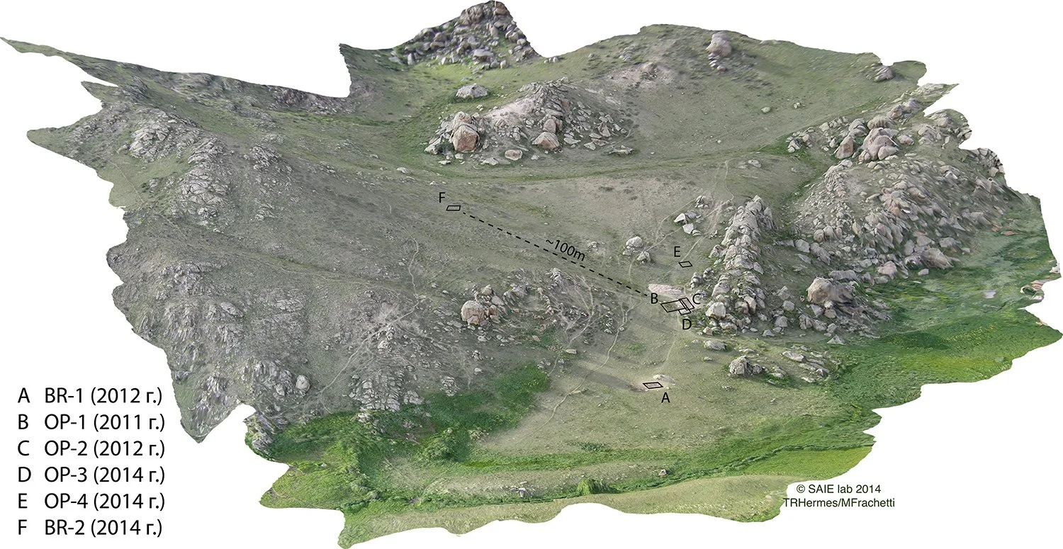
Archaeological excavations at the site complex of “Dali” – located in southeastern Kazakhstan – provide a rich picture of Bronze Age life spanning from the early third to late second millennia b.c. Nearly ten years of research at the site have produced an abundant assemblage of architectural remains, ritual and burial contexts, human and animal ancient DNA, as well as related economic, ceramic, and other forms of materiality.
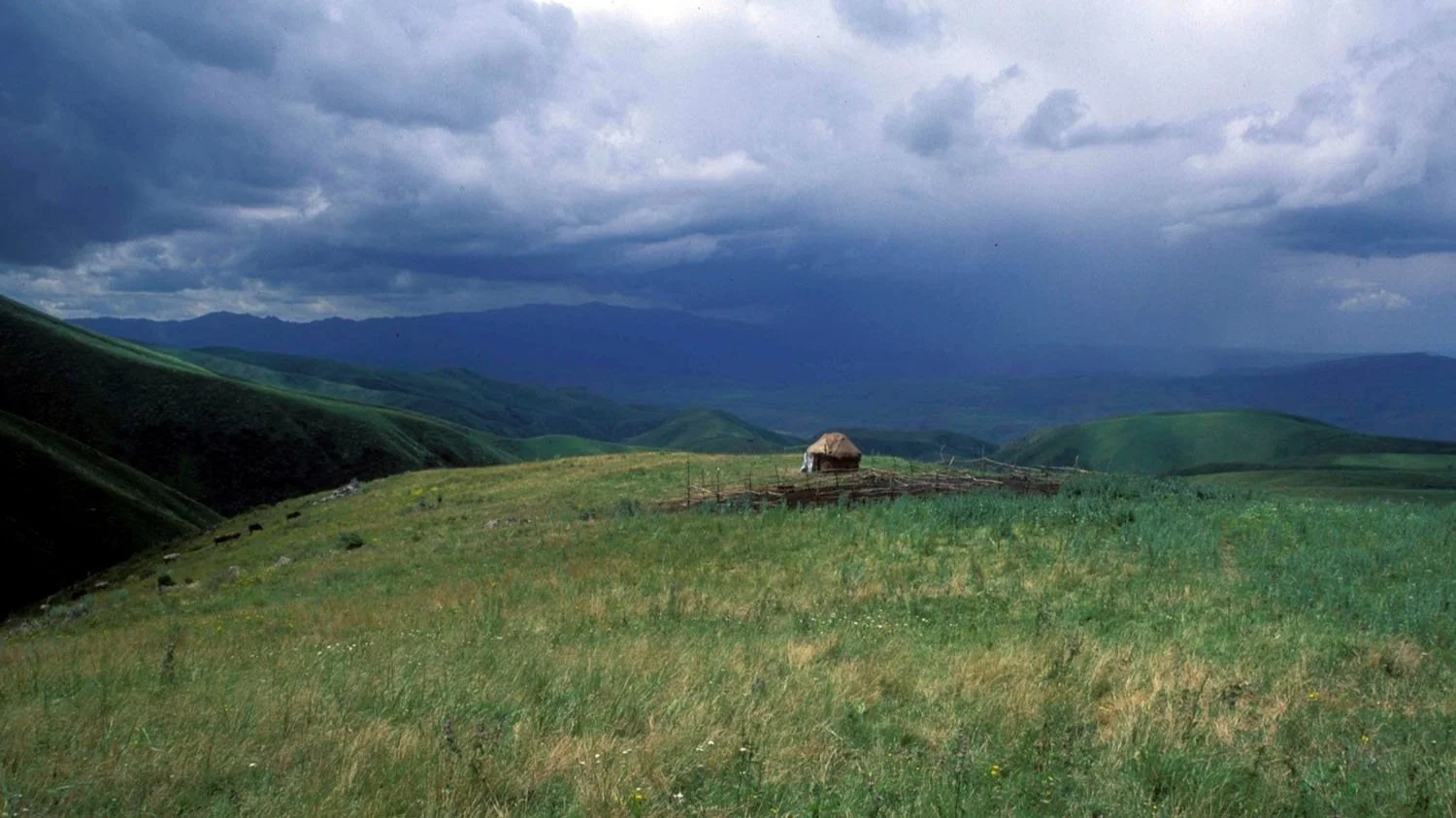
Through the innovative use of "flow accumulation", the SAIE lab study maps the annual migration routes of Inner Asian mountain pastoralists from elevations of 750m to 4,000m to shed light on the evolution of “Silk Roads.” After aggregating 500 model iterations, we uncovered a high-resolution flow network that simulates how centuries of seasonal nomadic herding could have shaped discrete routes of connectivity across the seemingly uncrossable mountains of Asia. This sheds light on the possibility that the elevated stretches of the Silk Road may have evolved from ancient nomadic herding trails in Inner Asia.
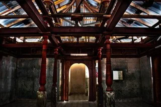
The SAIE lab partnered with the Maldives Heritage Survey project from 2017-2019 to build 3D digital models using a range of UAV and terrestrial modeling methods to digitally document the full spectrum of cultural heritage by producing an open-access archive that might weather the threats of rising sea levels, climate change, and population displacement.
Geographic Information Systems (GIS), remote sensing, and computer-assisted simulation, play an equally fundamental role in formulating explanations of the past. When attempting to document the expanse of a mobile society across a given landscape, one must consider various factors that may have played a role in human experiences at different times and locales. These factors range from ecological dynamics such as seasonality, climate, and terrain, to social and political aspects of specific archaeological feature types.

