Survey and excavations in central Tibet
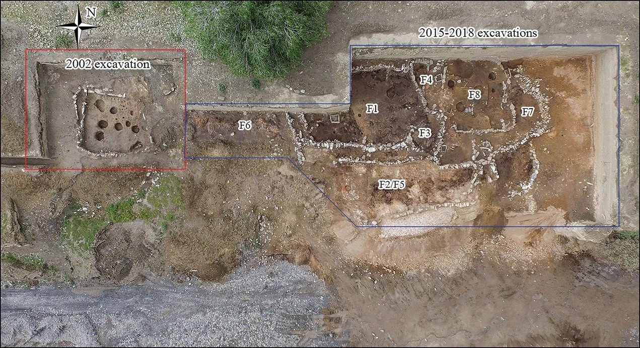
As part of the collaborative work between SAIE lab and archaeologists from Sichuan University (founded by the National Social Science Fund of China), we conducted an analysis on the ceramic materials of the Bangga site. The excavations and analysis of Bangga site provided evidence that the site is an agropastoral settlement in the first millennium BC, leading us to raise further questions: What is the pastoral mobility of the lowland people? How did they use the highland landscape? Where can we find the traces of this pastoral mobility?
The Bangga site (3000-2200 BP), from Lu, Chen (SAIE Lab). Frachetti(SAIE Lab). 2021. Antiquity
To answer these questions and provide a better dataset for understanding the pastoral landscape in prehistoric Tibet, we led a pioneering archaeological survey in the Lhoka region, central Tibet. Through this survey, we sought to discover new prehistoric agro-pastoral remains by directly performing test excavations and shovel tests under modern corrals. The pedestrian survey and shovel tests from 2019 and 2021 have resulted in the discovery of two prehistoric sites dating to the first millennium BC. These sites were likely seasonally occupied by the ancient agro-pastoralists.
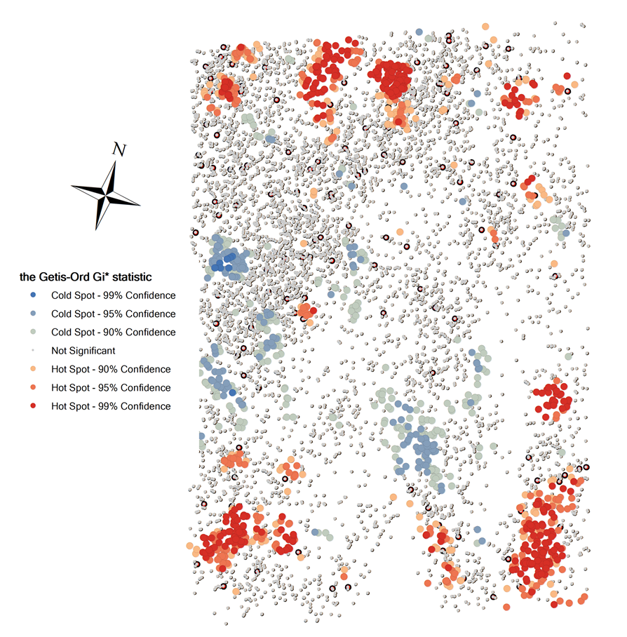
The excavations and surveys in the surrounding regions have provided new insights into our understanding of the material culture, residential mobility, and human-ecological interactions in ancient Tibet. So far, we have conducted a detailed drone mapping of the archaeological sites, GIS analysis using ethnographic data, radiocarbon dating, and ceramic compositional analysis of the Bangga, Yukang, and Badong sites, seeking to understand 1) the location pattern of highland pastoral sites and 2) the relationship of material cultures between highland corrals and lowland corrals.
The GIS model of the distributional pattern of the highland pastoral corrals, red areas showing the predicted hotspots with corrals of high use frequency in the survey area


